
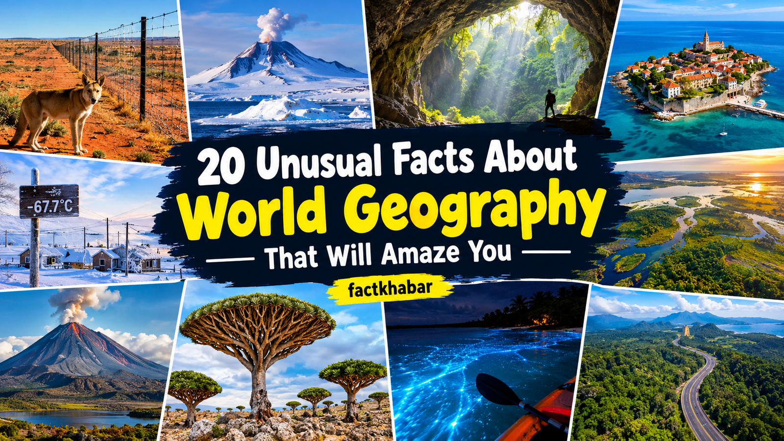
The world is full of fascinating geographical features, unusual landscapes, and natural wonders that make our planet truly extraordinary. From enormous underground caves and isolated islands to countries with unique borders and extreme climates, geography reveals how different and surprising our world can be. Some places are shaped by powerful geological forces, while others have developed distinctive environments because of their location, climate, and history. Here are 20 unusual facts about world geography, based on the information provided in your file.
1. Australia’s Dingo Fence Is One of the Longest Fences in the World
Australia is home to one of the longest continuous fences ever built by humans, known as the Dingo Fence. Stretching approximately 5,614 kilometres across parts of Queensland, New South Wales, and South Australia, the fence was constructed to help protect livestock from dingoes, which are wild dogs native to Australia. Its enormous length makes it an impressive example of how humans have adapted landscapes to support agriculture. Although the Dingo Fence is sometimes described as being longer than the Great Wall of China, this comparison can be misleading because the Great Wall is a vast network of walls and fortifications with a combined length of approximately 21,196 kilometres.
2. Antarctica Has Dozens of Volcanoes Hidden Beneath Its Ice
Antarctica is widely known for its enormous ice sheets and freezing temperatures, but beneath its icy surface lies a remarkable volcanic landscape. Scientists have identified numerous volcanoes beneath the West Antarctic Ice Sheet, including many that remain buried under thick layers of ice. Mount Erebus and Deception Island are among the volcanoes known to be active in the region. These geological features show that Antarctica is not simply a frozen continent but also an area with significant volcanic activity. The presence of volcanoes beneath the ice makes the continent particularly interesting to scientists studying Earth’s geological structure and the relationship between volcanic processes and ice sheets. 20 Unusual Facts About World Geography
3. Son Doong Cave Is Large Enough to Contain a Skyscraper
Located in Vietnam, Son Doong Cave is famous for its extraordinary size and enormous underground chambers. The cave extends approximately nine kilometres and contains spaces that reach around 500 metres in height and 175 metres in width. Its vast interior is so large that a 40-storey skyscraper could fit inside some of its chambers. Son Doong was discovered in the early 1990s and was officially surveyed by a British-Vietnamese team in 2009. Its immense scale has made it one of the world’s most remarkable natural caves, demonstrating how geological processes can create enormous underground spaces over long periods of time.
4. Kaliningrad Is a Russian Territory Separated From Mainland Russia
Kaliningrad is an unusual part of Russia because it is geographically separated from the country’s main territory. Located along the Baltic Sea between Poland and Lithuania, this region is known as a Russian exclave. It covers approximately 15,125 square kilometres and has a population of around one million people. Before the end of the Second World War, the area formed part of German East Prussia, and its capital was known as Königsberg. The territory was transferred to the Soviet Union in 1945 and later renamed Kaliningrad. Its location makes it an interesting example of how political borders can create geographically separated regions within a single country.
5. Oymyakon Is One of the Coldest Permanently Inhabited Places on Earth
Oymyakon, a settlement in northeastern Siberia, is famous for its extremely cold winters. In February 1933, the temperature reportedly reached approximately minus 67.7 degrees Celsius, making it one of the coldest recorded temperatures in a permanently inhabited settlement. The area’s geography plays an important role in its harsh climate. Its position in a mountain valley allows cold air to collect, while its distance from the warming influence of oceans contributes to severe winter conditions. Temperatures can fall dramatically during the coldest months, creating difficult living conditions for residents. Oymyakon demonstrates how elevation, landscape, and distance from oceans can influence the climate of a particular region.
6. Africa Has More Independent Countries Than Any Other Continent
Africa is geographically and culturally diverse, containing vast deserts, tropical rainforests, mountains, grasslands, and extensive coastlines. According to the information in the source, the continent has 54 independent countries, making it the continent with the highest number of sovereign states. These countries include Nigeria, Egypt, and South Africa, each with its own geographical features and cultural traditions. Africa covers nearly 30 million square kilometres and supports a population of more than one billion people. Its landscapes range from the enormous Sahara Desert in the north to the rainforests of the Congo Basin and the deserts of Namibia. This variety makes Africa one of the most geographically diverse continents on Earth.
7. India and China Together Have More Than One-Quarter of the World’s Population
India and China are two of the most populous countries in the world, and their combined populations represent a significant share of humanity. The source gives mid-2024 estimates of approximately 1.45 billion people in India and 1.42 billion in China. Together, these countries accounted for roughly 35% of the global population at that time. India became the world’s most populous country in 2023, surpassing China. Differences in birth rates, age structures, and population trends have influenced the demographic development of both countries. Their enormous populations also create distinctive geographical patterns, including densely populated cities, extensive agricultural regions, and large areas with different levels of settlement.
8. The Prime Meridian Passes Through Greenwich, England
The Prime Meridian is the imaginary line that marks zero degrees longitude and serves as the reference point for measuring locations east and west around the world. It passes through Greenwich in England, where the historic Royal Observatory became closely associated with global navigation and timekeeping. The international adoption of the Greenwich meridian as the standard reference was agreed upon at the International Meridian Conference in Washington, D.C., in 1884. This geographical line helps mapmakers, navigators, and scientists establish consistent positions on Earth’s surface. Although it is an imaginary line, the Prime Meridian has played an important role in making global mapping and geographic coordination more accurate and consistent.
9. The Okavango Delta Floods During the Dry Season
The Okavango Delta in Botswana has an unusual seasonal pattern that makes it different from many other wetlands. Its floodwaters originate from rainfall in the highlands of Angola and travel a long distance before reaching Botswana. The water generally arrives between April and June, with flooding often reaching its peak between June and August, when the surrounding region experiences its dry season. During this period, the delta can expand from approximately 4,000 to 6,000 square kilometres to around 12,000 square kilometres, and sometimes even more in particularly wet years. This seasonal transformation creates a striking geographical contrast, as water spreads across the dry landscape and changes the appearance of the delta.
10. Uzbekistan and Liechtenstein Are Double-Landlocked Countries
Most landlocked countries are separated from the ocean by at least one neighbouring country, but Uzbekistan and Liechtenstein have an even more unusual geographical situation. Both are described as double-landlocked countries, meaning that travelling from either country to reach an ocean requires crossing at least two other countries. Uzbekistan is located in Central Asia and is surrounded by other landlocked countries, including Kazakhstan, Kyrgyzstan, Tajikistan, and Afghanistan, as well as Turkmenistan. Liechtenstein lies in Europe between Austria and Switzerland, both of which are also landlocked. Their locations make direct access to the sea impossible without travelling through neighbouring territories, illustrating how geography can influence transport routes and international trade.
11. Indonesia Has Numerous Active Volcanoes
Indonesia is one of the world’s most volcanically active countries because of its location along the Pacific Ring of Fire. This vast island nation lies in a region where several tectonic plates interact, creating conditions that support frequent volcanic activity. The source estimates that Indonesia has around 130 active volcanoes distributed across islands such as Sumatra, Java, Bali, and Sulawesi. These volcanoes are an important part of the country’s physical geography and have influenced the development of its landscapes over time. Volcanic activity can create fertile soils and new landforms, although eruptions can also pose serious risks to nearby communities. Indonesia’s geography therefore reflects both the benefits and dangers associated with living in a volcanically active region.
12. Japan Experiences Frequent Earthquakes Because of Its Location
Japan is located in one of the world’s most seismically active regions. The country lies near the boundaries of several tectonic plates, including the Pacific and Philippine Sea plates, which contribute to frequent earthquakes. According to the source, Japan experiences more than 1,500 earthquakes annually, although the number includes events of different magnitudes. Some earthquakes are minor, while others can cause severe destruction and trigger tsunamis. The 1923 Great Kantō Earthquake and the 2011 Tōhoku Earthquake are examples of major seismic disasters in Japanese history. Because earthquakes are a continuing geographical risk, Japan has developed early-warning systems and regularly conducts emergency preparedness drills to help communities respond to seismic events.
13. Bangladesh Has an Extensive Network of Rivers
Bangladesh is known for its enormous network of rivers, tributaries, and distributaries. Much of the country’s geography has been shaped by the Ganges-Brahmaputra-Meghna river system, which carries water and sediment across the region. Traditional sources have often referred to approximately 700 rivers, although the number varies according to how individual waterways are classified and counted. The source also mentions more recent government estimates that identify a higher number of rivers. These waterways influence agriculture, transport, fishing, and everyday life throughout Bangladesh. At the same time, the country’s river-based geography makes many areas vulnerable to flooding and erosion, showing how rivers can provide valuable resources while also creating environmental challenges.
14. The Tibetan Plateau Is Known as the Roof of the World
The Tibetan Plateau is one of the most remarkable geographical regions on Earth because of its enormous size and high elevation. Covering approximately 2.5 million square kilometres, it has an average elevation of more than 4,500 metres above sea level. Its impressive height and vast mountain landscapes have earned it the nickname the Roof of the World. The plateau was formed through the collision of the Indian and Eurasian tectonic plates, which gradually pushed the land upward over millions of years. Its glaciers also supply water to several major Asian river systems, including the Yangtze, Yellow, Mekong, Brahmaputra, and Indus. As a result, the plateau has a major influence on the geography and water resources of surrounding regions.
15. The Pan-American Highway Is One of the World’s Longest Road Networks
The Pan-American Highway is an enormous road network that connects regions of North and South America. According to the source, its total length is approximately 30,000 kilometres, extending from Alaska toward Argentina through numerous countries. The route passes through areas with very different geographical conditions, including cities, mountains, forests, and dry landscapes. However, the road network has a major interruption known as the Darién Gap, a dense and difficult-to-cross region between Panama and Colombia. The challenging terrain and environmental concerns have prevented the construction of a continuous road through this area. As a result, travellers cannot drive the entire route without arranging alternative transport around the gap.
16. The Maldives Has the Lowest Average Elevation of Any Country
The Maldives is an island nation in the Indian Ocean famous for its coral islands and low-lying geography. The source describes its average elevation as approximately 1.5 metres above sea level, making it the country with the lowest average elevation in the world. Its islands consist of small areas of land surrounded by the ocean, with many located less than one metre above sea level. This low elevation makes the country especially vulnerable to rising sea levels, coastal flooding, and other environmental changes. Unlike countries with mountains or elevated inland regions, the Maldives has very limited higher ground where people can move if coastal areas become difficult to inhabit. Its geography highlights the importance of protecting low-lying island environments.
17. Lake Kariba Is the World’s Largest Artificial Reservoir by Volume
Lake Kariba lies along the border between Zambia and Zimbabwe and is known for its enormous volume of stored water. It was created by damming the Zambezi River at Kariba Gorge, with construction taking place between 1958 and 1963. The reservoir holds approximately 185 cubic kilometres of water and stretches for about 223 kilometres. Its creation transformed the surrounding landscape and established an important source of hydroelectric power for the region. However, filling the reservoir also placed considerable pressure on the local geology, and the source reports that the resulting changes were associated with earthquakes. Lake Kariba demonstrates how large engineering projects can reshape natural environments while providing important resources for human communities.
18. The Congo Basin Contains the World’s Second-Largest Rainforest
The Congo Basin rainforest in Central Africa is one of the world’s most important tropical forest regions. It is the second-largest rainforest on Earth after the Amazon, covering approximately 1.6 million square kilometres. A large proportion of this forest lies within the Democratic Republic of the Congo, making the country particularly important for rainforest conservation. The region supports a remarkable variety of wildlife, including elephants, bonobos, and chimpanzees, along with thousands of plant, bird, mammal, and fish species. Many of these species depend on the forest’s complex ecosystems for survival. The Congo Basin also plays an important role in maintaining biodiversity and storing carbon, making its protection valuable for both local communities and the wider environment.
19. Socotra Island Looks Different From Almost Anywhere Else on Earth
Socotra is a Yemeni island in the Indian Ocean that is famous for its unusual landscapes and distinctive plant life. Its long period of geographical isolation has allowed many unique species to develop, giving the island an appearance that seems almost otherworldly. One of its best-known plants is the dragon’s blood tree, which has an umbrella-shaped crown and a distinctive appearance. Socotra is also home to bottle-like cucumber trees and other unusual vegetation. According to the source, nearly 37% of the island’s approximately 835 plant species are endemic, meaning they are found nowhere else in the world. Its combination of unusual trees, mountains, dunes, and surrounding reefs makes Socotra one of the planet’s most distinctive natural environments.
20. Mosquito Bay Is Famous for Its Glowing Water
Mosquito Bay is located on Vieques, an island belonging to Puerto Rico, and is widely known for its remarkable bioluminescence. At night, the water can glow blue-green when it is disturbed, creating a striking effect that resembles light moving across a dark surface. This phenomenon is caused by tiny organisms in the water that produce light under certain conditions. When paddles move through the bay or water splashes against a kayak, the organisms can create visible glowing trails. Puerto Rico has several bioluminescent bays, but Mosquito Bay is especially famous for the brightness of its glow. This unusual natural feature demonstrates how microscopic life can create a spectacular visual effect in a particular geographical environment.
Conclusion
These 20 unusual geography facts reveal how varied and surprising our planet can be. From the enormous chambers of Son Doong Cave and the volcanic landscapes of Indonesia to the low-lying islands of the Maldives and the glowing waters of Mosquito Bay, each location has distinctive features that make it interesting. Geography is not limited to maps, borders, and country names; it also explains how landscapes form, how climates differ, and how natural processes influence human life. Learning about these places helps us understand the extraordinary diversity of Earth and appreciate the natural features that make every region unique.